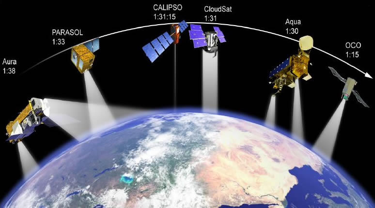
Remote sensing data can be analyzed for actionable insights, which can make a huge difference to the yield of crops. For example, remote sensing sensors can identify diseases before they spread to the crop or identify weeds before they kill the crop. In addition, sensors can monitor crop stress.
For more information, visit ellipsis-drive.com
Satellite imagery
Using satellite imagery gives people a unique perspective to solve problems and gain insights. Arlula has created a network of leading data suppliers and developers to provide access to this data at scale. By using satellite data, people can derive actionable insights for business and government. Let’s look at a few examples of how satellite imagery can be used.
First, satellite imagery is often limited in resolution. Although satellites are now capable of providing higher resolution data, the amount of data they can transmit is often limited. Landsat data, for example, has a resolution of 30m, which translates to an area 30 meters squared on the ground. This makes it a medium-resolution image, which is useful for imaging a city or region, but isn’t fine enough to distinguish specific objects.
Optical satellite data
Satellite data can be used for a variety of purposes, from monitoring natural disasters to mapping wildfires. It can also help to create predictive models and prepare for major events. The data is fed into algorithms and used to build models that automatically classify objects, such as buildings, trees, and other features. For example, a tree close to an overhead power line can pose varying risks based on its species, age, and health. The models are trained using current and historical satellite imagery.
Optical satellite data is available in various formats, from high-resolution images to low-resolution images. Low-resolution imagery is highly useful because it contains spectral information that can be used to produce more accurate maps. These images can also be used for image pre-processing, atmospheric corrections, and land cover classification. Low-resolution data offers more detailed information than high-resolution data, but has a trade-off when it comes to image quality.
Image differencing
Image differencing is an important technique for creating actionable insights from remote sensing data. It works by separating pixels into two classes, those with radiance changes and those without. The intensity values of pixels in one of these classes tend to cluster near the mean, and those in the other class tend to cluster away from the mean. The difference between these two classes can be visually examined in a false-color image. In the false-color image, pixels with a change are indicated by red, and those without a change are indicated by yellow.
Image differencing using remote sensing data is an effective tool for identifying changes in the environment. Using this technology can help us monitor changes in the environment and human needs. Moreover, this technique can improve the quality of remote sensing images while reducing the time required for analysis.
Change dynamics analysis
Using remote sensing data to monitor changes in ecosystems is a promising approach to understanding changes. It offers a wide range of benefits, including improved understanding of conservation status of natural habitats. Moreover, it allows the acquisition of data in remote areas. Remote sensing is used for various ecological studies, including monitoring changes in vegetation and land cover, monitoring deforestation, estimating carbon sequestration, and detecting vegetation stress.
Change dynamics analysis using remote sensing data requires the use of a data set in a digital format. This allows for computer processing. Data from several sensors can be used to compare their classifications. For example, if the data was taken from two different locations, the pixel-by-pixel comparison of the images can help identify changes in vegetation. This method minimizes the effects of environmental, sensor, and atmospheric differences on the results. It also avoids the need for threshold selection and atmospheric corrections.


